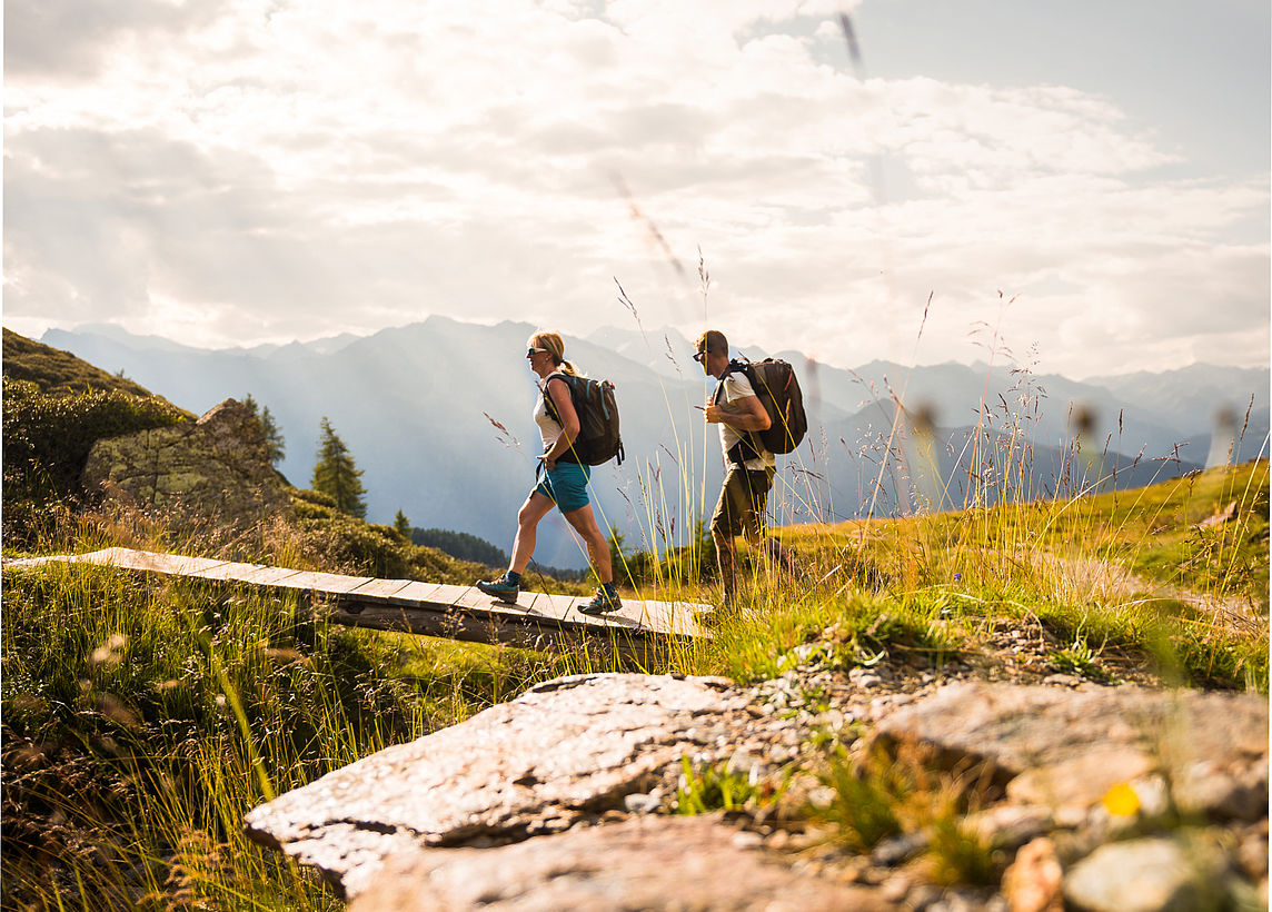
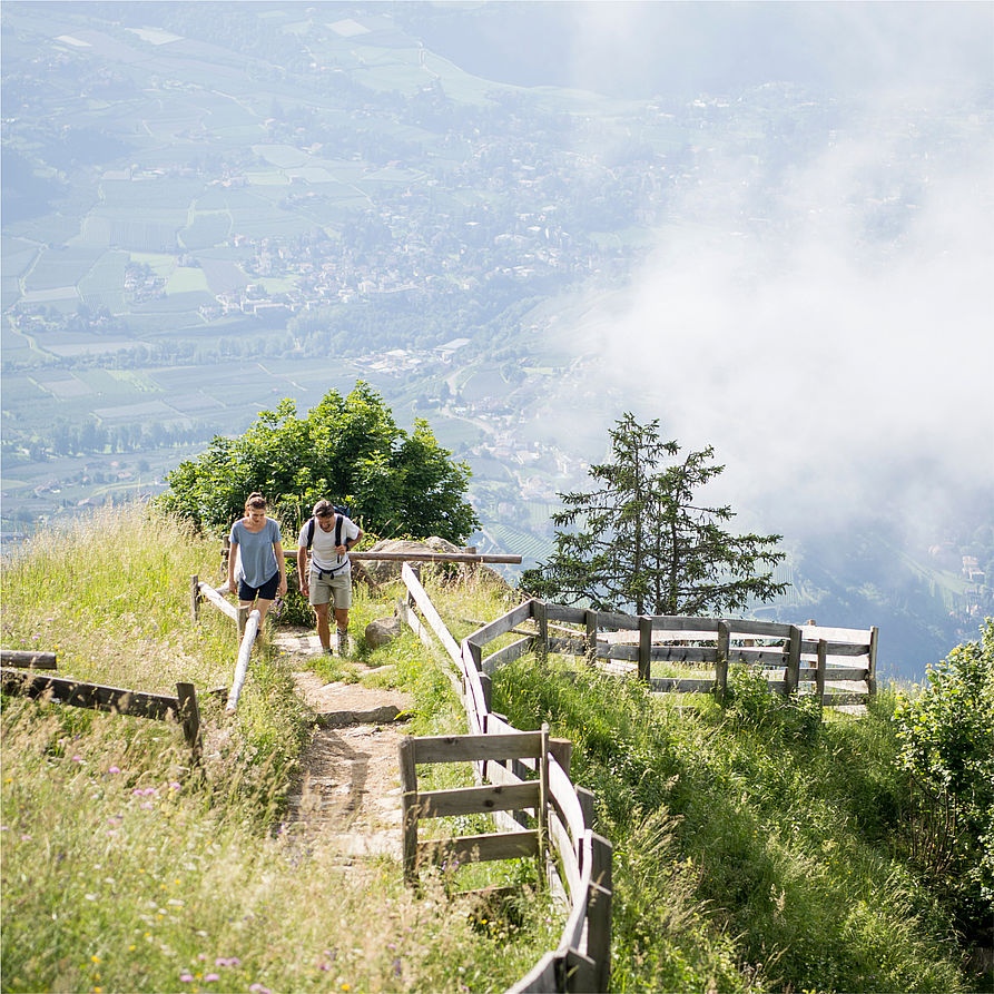
Couple hiking with a view of Merano

Every step is a step forward, every breath a relaxation exercise and every view an insight. Hiking is also wellness.

Couple walks across a bridge
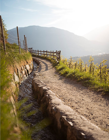
Hiking trail with a small stream on the side

Welcome to the land of hiking – welcome to Meran and Environs
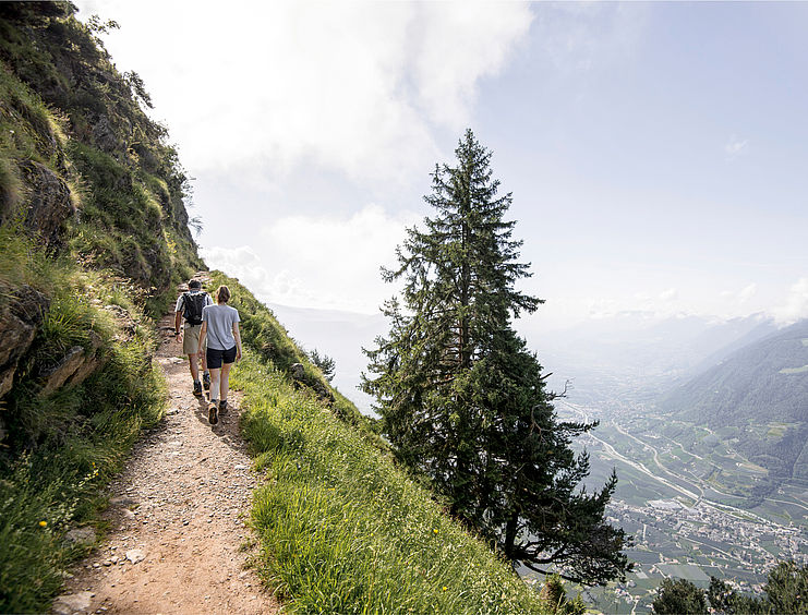
A mountain climber’s or valley explorer’s dream! The nature around Schenna is calling out to be discovered – can you hear it? Simply pack your bags and get ready for a real adventure. On top of the mountains or along one of the ’Waalweg’ (ancient irrigation channel) trails. To the next mountain hut for a delicious lunch or simply through the forest and across meadows. With or without a hiking guide. In Meran and Environs, you can hike in every direction under the sun. We’re not joking! It is surrounded by many hills and mountains, all of which offer hikes for every imaginable difficulty level!

Couple hikes high altitude
Couple hiking on Waalweg
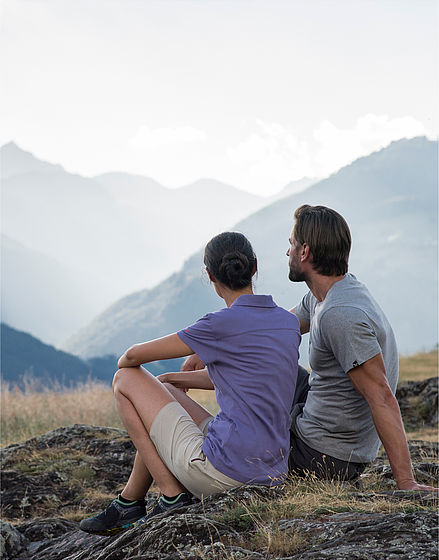
Couple sitting comfortably on the floor with a view of mountains

Hotel Hohenwart’s hiking service

  • Weekly guided hikes
  • Hiking shuttle three times a week
  • Hire what you need directly from us: hiking rucksacks, hiking poles, water bottles, hiking maps and reading material
  • Shoe dryer for your hiking boots
  • Great insider tips for personalised hikes from our staff
  • For private summit and glacier tours, we can gladly arrange an experienced mountain guide for you (for a fee)

Hubert's 5 best hiking tips for the summer

Hardly anyone knows the South Tyrolean mountains as well as our hiking guide Hubert. He is happy to give our guests (and sometimes our team as well) his personal hiking tips. Here we have collected a small selection of his tips for you!

Hike on the Merano High Mountain Trail

Starting from the village centre of Katharinaberg (Schnalstal Valley), first follow the village uphill on trail no. 10a. Ascending across meadows and through larch forest, you reach the Merano High Mountain Trail. Now follow the path marked no. 24 out of the valley towards Naturns. The trail leads gently up and down at an otherwise relatively constant altitude past the numerous mountain farms of the Fuchsberg. The High Mountain Trail initially leads through the forest, towards the end through the typical steppe landscape of the barren Sonnenberg with its exceptional, Mediterranean-style flora. Continue past the Lint mountain inn in the direction of Meran and after an approx. 10 minutes walk, branch off to the right and descend via trail no. 24b to the Unterstell cable car mountain station. The cable car takes you back to Naturns in comfort.


  • Walking time: approx. 3.0h
  • KM: approx. 7,00km
  • Difference in altitude: 400 metres
  • Difficulty: moderately difficult 

Circular hike on the Nörderberg Mountain in the Vinschgau Valley

From Rabland, take the cable car to Aschbach (1,360m). The forest path no. 28 leads you slightly uphill below the little church of the Vigil Joch (1,750m). Then head westwards. Forest path no. 9, then no. 2 leads you to the high plateau (2,010m) to the Rauhen Bühel. Here you can enjoy a marvellous panoramic view of the Dolomites and the Texelspitze. The route descends slightly to the Naturnser Alm (1,910m). After a cosy stop for refreshments, a forest path no. 27 leads back to Aschbach.


  • Walking time: approx. 4.5h
  • KM: approx. 12,50km
  • Difference in altitude: 700 metres
  • Difficulty: moderately difficult 

Loop hike in the rear Ultental Valley

This loop hike starts at the Lake Weißbrunnsee in the Ultental valley (1,872m). Hike along a cart track and forest path no. 140, then no. 103 uphill to the Lake Fischersee (2,068m) and on to the mountain inn Weissbrunnalm (2,240m). Already above the tree line, the trail leads over grass mats to the Lake Langsee (2,340m) on no. 107. Continue then on the somewhat stony path below the summits Eggenspitzen on no. 12 to the Lake Grünsee (2,529m). If you wish, you can take a cosy break at the mountain inn Höchsterhütte in the middle of the 3,000m peaks (Hintereggspitz, Zufrittspitz) and then continue on no. 12 back to the starting point, descending steeply in places.


  • Walking time: approx. 4.0h
  • KM: approx. 11,00km
  • Difference in altitude: 700 metres
  • Difficulty: medium to difficult

Loop hike in the Passeiertal Valley

Start the hike in Ulfas in the Passeiertal valley (1,525m). From the Kratzegg car park above Ulfas, follow the wide forest path to the lower mountain inn Ulfaser Alm. Now follow an easy mountain path (no. 2B) over steps through the forest and heathland towards the tree line on the "Hahnl" (2,000m). The path then climbs more steeply up the ridge to the summit cross. A fantastic panoramic view opens up at 2,179 metres. The descent is the same as the ascent to the "Hahnl". Now hike eastwards along the ridge, initially along a narrow path and then across alpine meadows to the Hitzenbichl. Continue downhill through the forest to the parish. A leisurely "Waalweg" (irrigation path) through the forest takes you to the mountain inn Ulfaser Alm, where you can take a lunch break. Then hike back along the forest path to the starting point. 


  • Walking time: approx. 5.0h
  • KM: approx. 12,50km
  • Difference in altitude: 800 metres
  • Difficulty: moderately difficult - difficult 

Mountain crossing above S. Cristina in Val Gardena

Drive via Bozen into Val Gardena to S. Cristina to the Rungaudié farmstead at 1750 metres. Now take the forest path, initially flat, then ascending (no. 4/20) to the mountain meadows of the Seurasas (marvellous flowering mountain meadows). On a mountain path over the ridge, somewhat steeply uphill (no. 6) to the summit of Monte Pic at 2,363 metres. This free-standing summit offers a fantastic panoramic view of the surrounding mountains of the Dolomites. The descent via the north ridge on an easy but steep path down to the Cuca saddle (2,160m) and on via the Lech Sant (Holy Lake) to the mountain inn Gamsbluthütte (possible refreshment stop). A wide track then leads back to the starting point.


  • Walking time: approx. 4.0h
  • KM: approx. 10,00km
  • Difference in altitude: 650 metres
  • Difficulty: moderately difficult - difficult 

The perfect combination of hiking and wellness

Sabine on holidaycheck

Phone
Phone
Anreise
Arrival
Anfrage
Request
Buchen
Book now
Your Browser is not supported!

You are using an outdated browser. To have the best experience use one of the following browsers: